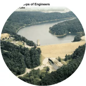
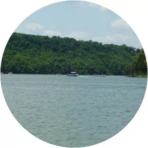
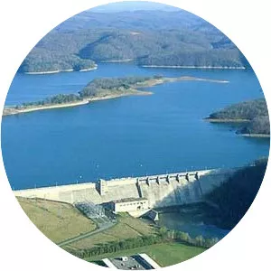
Laurel River Lake
| Use attributes for filter ! | |
| Max depth | 85 m |
|---|---|
| Area | 2266 |
| Length | 30 km |
| Average depth | 65 ft (20 m) |
| Locations | Laurel |
| Whitley | |
| Kentucky | |
| United States | |
| Shore length1 | 206 mi (332 km) |
| Date of Reg. | |
| Date of Upd. | |
| ID | 838208 |
About Laurel River Lake
Laurel River Lake, located west of Corbin, Kentucky, in the U. S. , is a reservoir built in 1977 by the U. S. Army Corps of Engineers on the Laurel River, a tributary of the Cumberland River, in the Daniel Boone National Forest. The lake covers parts of Laurel and Whitley counties.
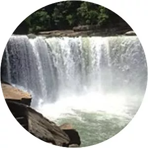
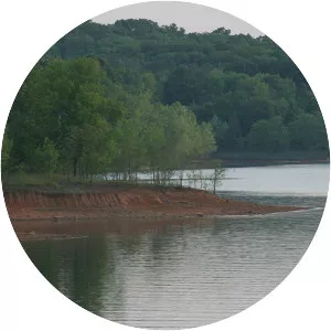
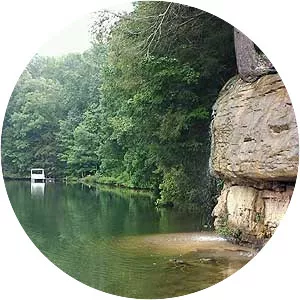
Laurel River Lake Photos