Lastarria
| Use attributes for filter ! | |
| Elevation | 5,706 m |
|---|---|
| Volcanic belt | Central Volcanic Zone |
| Parent range | Andes |
| Last eruption | 2460 ± 50/60 years BP |
| Ratings | 5.0 |
| Provinces | Salta Province |
| Last erupt | 2460 ± 50/60 years BP |
| Mountain range | Andes |
| Coordin | 25°10′S 68°31′W / 25.167°S 68.517°W |
| Age of rock | BP |
| Volcan belt | Central Volcanic Zone |
| Date of Reg. | |
| Date of Upd. | |
| ID | 2454049 |
About Lastarria
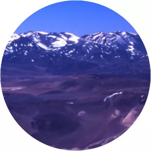
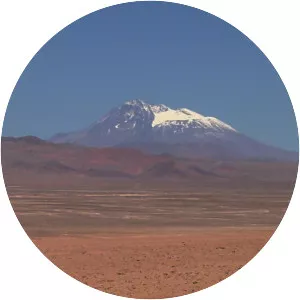
Lastarria is a 5,697 metres high stratovolcano that lies on the border between Chile and Argentina. It is remote and the surroundings are uninhabited but can be reached through an unpaved road. The volcano is part of the Central Volcanic Zone, one of the four segments of the volcanic arc of the Andes.
Where is the Lastarria
Click on the photo of Lastarria to view it on Google Maps.