Lago La Plata
| Use attributes for filter ! | |
| Ratings | 4.5 |
|---|---|
| Area | 4.04 km² |
| Date of Reg. | |
| Date of Upd. | |
| ID | 4064955 |
About Lago La Plata
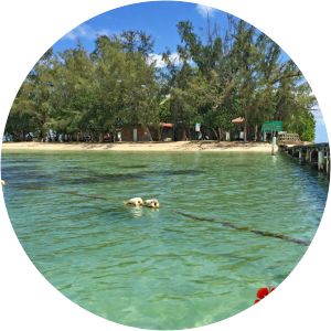
Lago La Plata is a lake located between the municipalities of Naranjito, Toa Alta, and Bayamón in Puerto Rico. The lake was created in 1973 and serves as a reservoir for potable water. The lake receives flow from the La Plata River and can be used for fishing.
Where is the Lago La Plata
Click on the photo of Lago La Plata to view it on Google Maps.