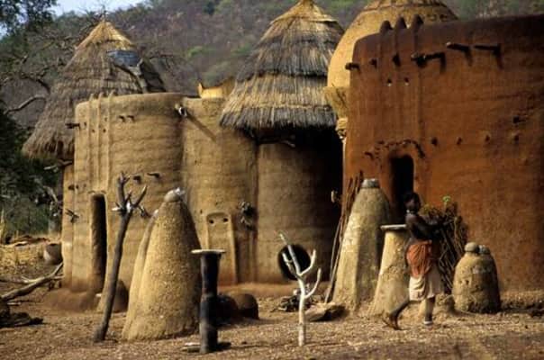
Koutammakou
| Use attributes for filter ! | |
| Criteria | Cultural: (vi), (v) |
|---|---|
| UNESCO World Heritage Site inscription | 2004 |
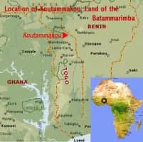
| Locations | Kara Region |
| Togo | |
| Area | 50000120000 |
| Did you know | The Koutammakou is an eloquent testimony to the strength of spiritual association between people and the landscape, as manifested in the harmony between the Batammariba and their natural surroundings. |
| Ratings | 4.2 |
| Address | Dissani, Togo |
| Unesco site id | 1140 |
| Date of Reg. | |
| Date of Upd. | |
| ID | 809385 |
About Koutammakou
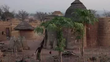
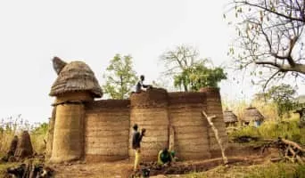
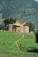
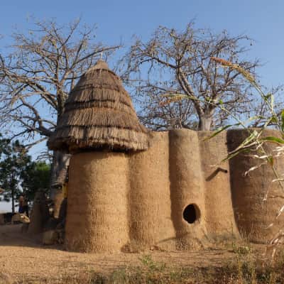
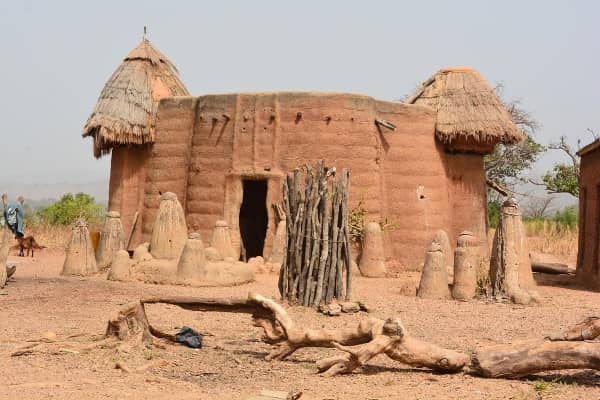
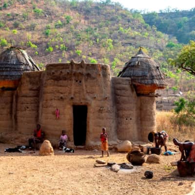
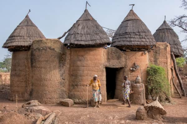
Koutammakou, the Land of the Batammariba is a cultural landscape designated in 2004 as a UNESCO World Heritage Site at the border between northern Togo and Benin. The area features traditional mud tower-houses which remain the preferred style of living.
Where is the Koutammakou
Click on the photo of Koutammakou to view it on Google Maps.
Koutammakou Photos