Kongō Range
| Use attributes for filter ! | |
| Mount Kongō | Mount Kongō |
|---|---|
| Nara | Nara |
| Osaka | |
| Wakayama | |
| 34°25′9″N 135°40′21. . . | |
| 1,125 m (3,691 ft) | |
| Highest point | Mount Kongō |
| Country | Japan |
| Regions | Nara |
| Archipelago | Japan |
| Range coordinates | 34°25′9″N 135°40′21″E / 34. 41917°N 135. 67250°E Coordinates: 34°25′9″N 135°40′21″E / 34. 41917°N 135. 67250°E |
| Mountains | Mount Kongō |
| Mount Izumi Katsuragi | |
| Nakakatsuragisan | |
| Minamikatsuragisan | |
| Date of Reg. | |
| Date of Upd. | |
| ID | 2994214 |
About Kongō Range
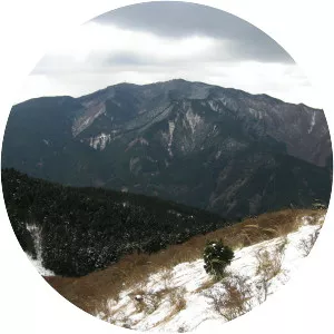
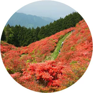
The Kongō Range is a mountain range on the borders of Nara and Osaka Prefectures on the island of Honshū in the southwest of central Japan. The range separates the Osaka Plain and the Nara Basin, and forms a natural place for the boundary between the prefectures.