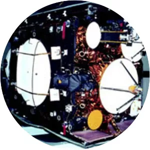
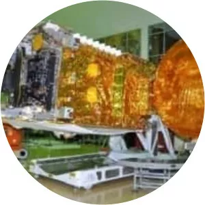
IRNSS-1G
| Use attributes for filter ! | |
| Launch date | April 28, 2016 |
|---|---|
| Launch site | Satish Dhawan Space Centre |
| Satish Dhawan Space Centre First Launch Pad | |
| Perigee altitude | 35,780. 961 km (22,233. 258 mi) |
| Apogee altitude | 35,796. 200 km (22,242. 727 mi) |
| Bus | I-1K |
| Manufacturers | Space Applications Centre |
| U R Rao Satellite Centre | |
| Date of Reg. | |
| Date of Upd. | |
| ID | 2927287 |
About IRNSS-1G
IRNSS-1G was the seventh and final of the Indian Regional Navigation Satellite System series of satellites after IRNSS-1A, IRNSS-1B, IRNSS-1C, IRNSS-1D, IRNSS-1E and IRNSS-1F. This system of satellites will provide navigational services to the Indian region.