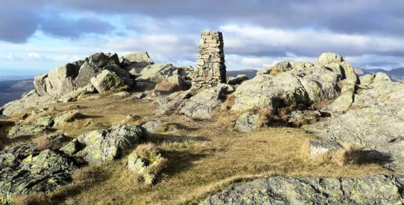
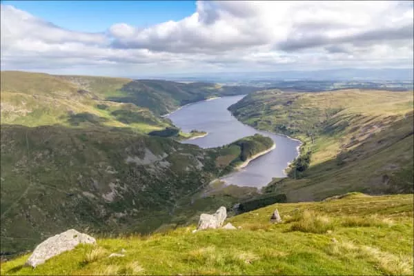
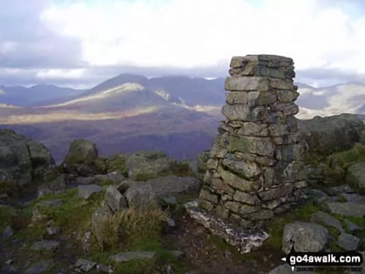
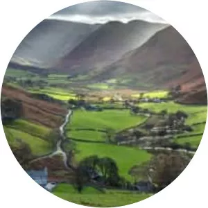
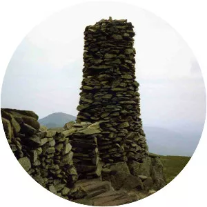
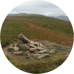
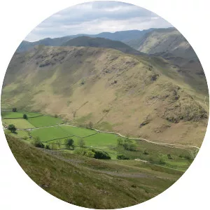
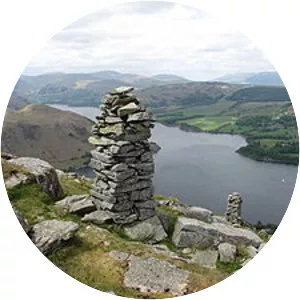
Harter Fell
| Use attributes for filter ! | |
| Ratings | 4.8 |
|---|---|
| Elevation | 778 m |
| Prominence | 149 m |
| Mountain range | Lake District |
| Southern Fells | |
| Far Eastern Fells | |
| Coordin | 54°28′34″N 2°50′06″W / 54.476°N 2.835°W |
| Date of Reg. | |
| Date of Upd. | |
| ID | 3654046 |
About Harter Fell
Harter Fell is a fell in the far eastern part of the English Lake District. The summit at lies the meeting point of three ridges, and Harter Fell forms the head of three valleys: Mardale, Longsleddale and the valley of the River Kent.
Where is the Harter Fell
Click on the photo of Harter Fell to view it on Google Maps.
Harter Fell Photos