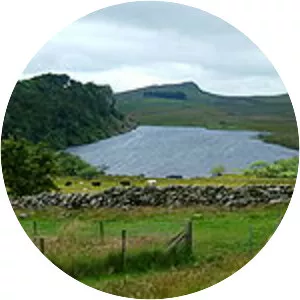
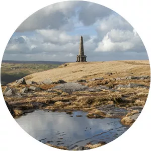
Hadrian's Wall Path
| Use attributes for filter ! | |
| Length | 84 mi (135 km) |
|---|---|
| Highest point | 345 m (1,132 ft), Whinshields Crags |
| Use | Hiking |
| Designation | National Trails |
| Locations | England |
| Tyne and Wear | |
| Northumberland | |
| Cumbria | |
| Trailheads | Wallsend |
| Bowness-on-Solway | |
| Date of Reg. | |
| Date of Upd. | |
| ID | 908979 |
About Hadrian's Wall Path
The Hadrian's Wall Path is a long-distance footpath in the north of England, which became the 15th National Trail in 2003. It runs for 84 mi, from Wallsend on the east coast of England to Bowness-on-Solway on the west coast.