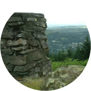
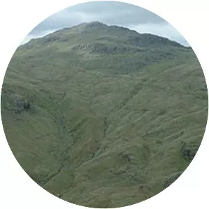
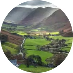
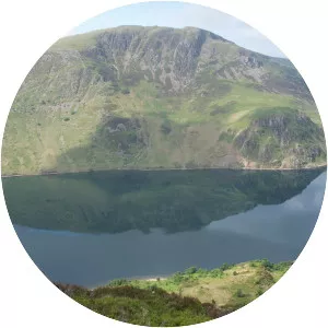
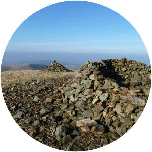
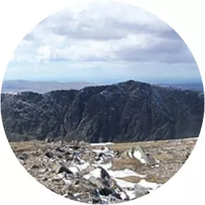
Gummer's How
| Use attributes for filter ! | |
| Elevation | 321 |
|---|---|
| Prominence | 217 m |
| Topo map | OS |
| Parent peak | High Street |
| Parent range | Lake District |
| Listing | List of Marilyns in the British Isles |
| The Outlying Fells of Lakeland | |
| Date of Reg. | |
| Date of Upd. | |
| ID | 1162126 |
About Gummer's How
Gummer's How is a hill in the southern part of the Lake District, on the eastern shore of Windermere, near its southern end. How, derived from the Old Norse word haugr, is a common local term for a hill or mound.