Gulfgate Bridge
| Use attributes for filter ! | |
| Address | TX-82, Port Arthur, TX 77640, United States |
|---|---|
| Total length | 1,534 m |
| Opened | 1970 |
| Locations | Port Arthur |
| Bridge type | Cantilever bridge |
| Date of Reg. | |
| Date of Upd. | |
| ID | 2153827 |
About Gulfgate Bridge
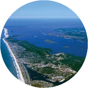
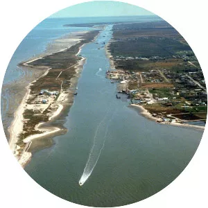
The Martin Luther King Bridge or Gulfgate Bridge of Port Arthur, Texas is a cantilever bridge spanning the Sabine-Neches ship canal. It was opened in the 1970 to connect Port Arthur with Pleasure Island and Louisiana.
Where is the Gulfgate Bridge

Click on the photo of Gulfgate Bridge to view it on Google Maps.