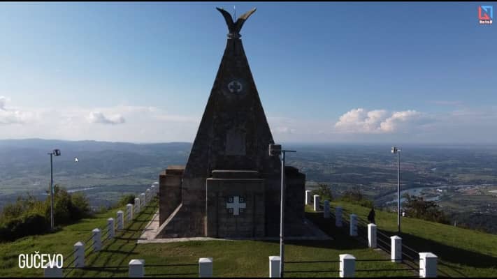
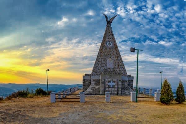
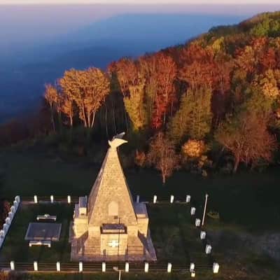
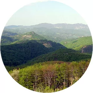
Gucevo
| Use attributes for filter ! | |
| Ratings | 4.7 |
|---|---|
| Elevation | 779 m |
| Prominence | 398 m |
| Mountain range | Dinaric Alps |
| Date of Reg. | |
| Date of Upd. | |
| ID | 4061442 |
About Gucevo
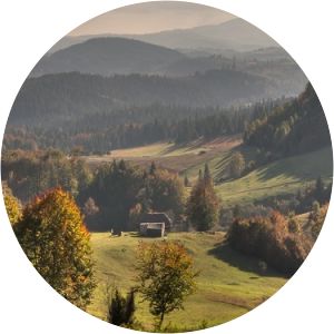
Gučevo is a mountain in western Serbia, near the town of Loznica, overlooking the Drina river and Banja Koviljača. Its highest peak Crni vrh has an elevation of 779 meters above sea level. The mountain was a site of Battle of Gučevo between Serbian and Austro-Hungarian army in World War I.
Where is the Gucevo
Click on the photo of Gucevo to view it on Google Maps.
Gucevo Photos