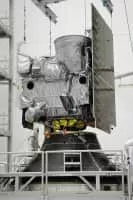
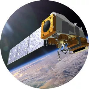
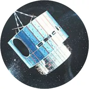
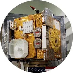
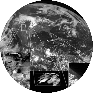
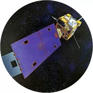
GOES 13
| Use attributes for filter ! | |
| Launch date | May 25, 2006, 1:11 AM GMT+3 |
|---|---|
| Orbit height | 35,786 km |
| Speed on orbit | 3. 07 km/s |
| Longitude | 140° East (moving westward) |
| Manufacturers | Boeing |
| Perigee altitude | 35,768. 5 kilometres (22,225. 5 mi) |
| Date of Reg. | |
| Date of Upd. | |
| ID | 1967428 |
About GOES 13
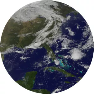
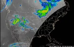
GOES-13, formerly known as GOES-N before becoming operational, is an American weather satellite which forms part of the National Oceanic and Atmospheric Administration's Geostationary Operational Environmental Satellite system. On April 14, 2010, GOES-13 became the operational weather satellite for GOES-EAST.
GOES 13 Photos