Géoportail
| Use attributes for filter ! | |
| Type of site | Web mapping |
|---|---|
| Date launched | June 23, 2006 |
| Owners | Institut Géographique National |
| Available in | French language |
| English Language | |
| Spanish Language | |
| German language | |
| Date of Reg. | |
| Date of Upd. | |
| ID | 807094 |
About Géoportail
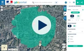
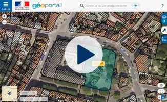
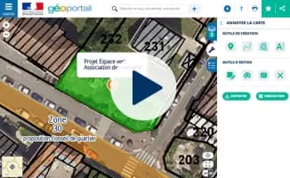
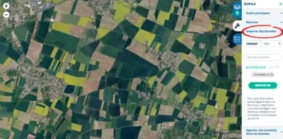
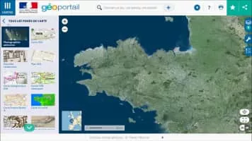
Géoportail is a comprehensive web mapping service of the French government that publishes maps and geophysical aerial photographs from more than 90 sources for France and its territories. The service, first developed by two public agencies, was officially inaugurated on June 23, 2006 by president Jacques Chirac.
Géoportail Photos