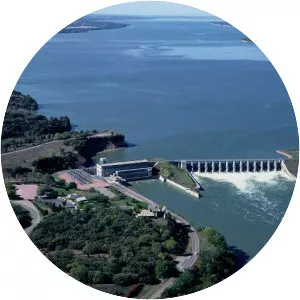
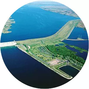
Gavins Point Dam
| Use attributes for filter ! | |
| Height | 2300 (cm) |
|---|---|
| Opened | 1957 |
| Maximum water depth | 45 ft (14 m) |
| Locations | Cedar County |
| Nebraska | |
| Yankton County | |
| South Dakota | |
| Maximum length | 25 mi (40 km) |
| Create | Lewis and Clark Lake |
| Date of Reg. | |
| Date of Upd. | |
| ID | 2903851 |
About Gavins Point Dam
Gavins Point Dam is a 1. 9 mi long embankment rolled-earth and chalk-fill dam which spans the Missouri River and impounds Lewis and Clark Lake.