Ganga Mountain
| Use attributes for filter ! | |
| Elevation | 3,045 m |
|---|---|
| Locations | Bagh District |
| Azad Kashmir | |
| Pakistan | |
| Kashmir | |
| Parent range | Pir Panjal Range |
| Ratings | 4.8 |
| Mountain range | Pir Panjal Range |
| Coordin | 34°04′30″N 73°47′20″E / 34.07500°N 73.78889°E |
| Date of Reg. | |
| Date of Upd. | |
| ID | 3022576 |
About Ganga Mountain
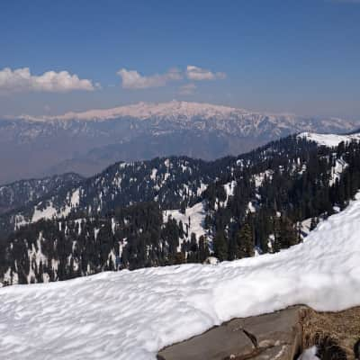
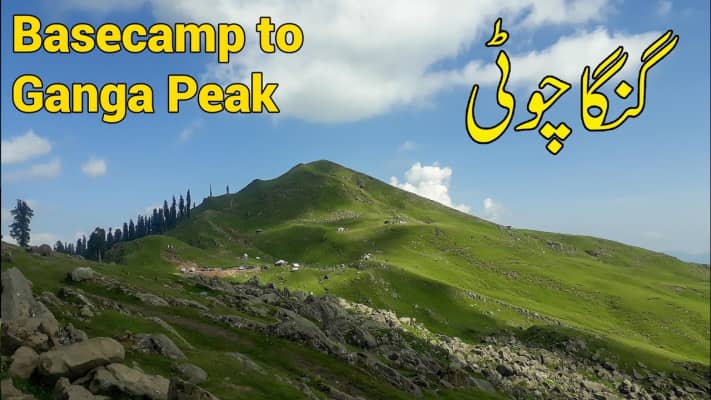
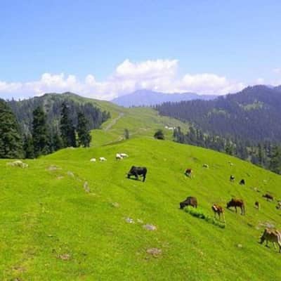
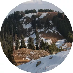
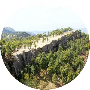
Ganga Choti is a peak located in Bagh District of Azad Kashmir, Pakistan. Located at a height of 3,045 metres, it is a part of the Pir Panjal Range of the Lower Himalayas. Geographically, it is located between the union council Birpani and Sudhan Gali village.
Where is the ganga mountain
Click on the photo of ganga mountain to view it on Google Maps.
ganga mountain Photos