Färnebofjärden National Park
| Use attributes for filter ! | |
| Address | Kjellins väg 9, 810 21 Gysinge, Sweden |
|---|---|
| Area | 101 |
| Established | 1998 |
| Management | Environmental Protection Agency |
| Date of Reg. | |
| Date of Upd. | |
| ID | 2283372 |
About Färnebofjärden National Park
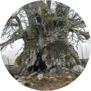
Färnebofjärden National Park is a Swedish national park traversed by the river Dalälven, about 140 km north of Stockholm. It covers 10,100 ha, of which 4,110 ha aquatic, on the frontier between the counties of Dalarna and Gävleborg.
Where is the Färnebofjärden National Park

Click on the photo of Färnebofjärden National Park to view it on Google Maps.