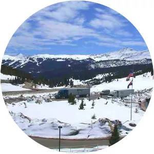
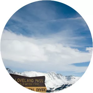
Eisenhower Tunnel
| Use attributes for filter ! | |
| Address | Eisenhower-Johnson Memorial Tunnel, Dillon, CO 80435, United States |
|---|---|
| Height | 1500 (cm) |
| Length | 1. 693 mi (2. 72 km) westbound; 1. 697 mi (2. 73 km) eastbound |
| Highest elevation | 111583401 |
| Lowest elevation | 110133357 |
| Date of Reg. | |
| Date of Upd. | |
| ID | 3070472 |
About Eisenhower Tunnel
The Eisenhower Tunnel, officially the Eisenhower–Edwin C. Johnson Memorial Tunnel, is a dual-bore, four-lane vehicular tunnel in the western United States, approximately 60 miles west of Denver, Colorado. The tunnel carries Interstate 70 under the Continental Divide in the Rocky Mountains.
Where is the Eisenhower Tunnel

Click on the photo of Eisenhower Tunnel to view it on Google Maps.