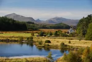
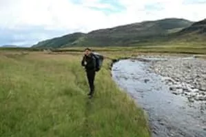
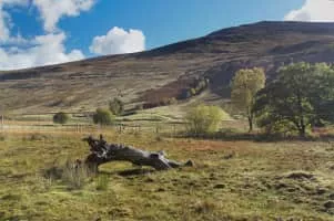
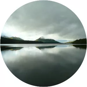
East Highland Way
| Use attributes for filter ! | |
| Length | 132 km |
|---|---|
| Season | All year |
| Use | Hiking |
| Highest point | Glen Banchor |
| Lowest point | sea level, 0 m (0 ft) |
| Date of Reg. | |
| Date of Upd. | |
| ID | 1093520 |
About East Highland Way
The East Highland Way is a long distance walking route in Scotland that connects Fort William with the ski and mountain resort of Aviemore. The route was described by the architect Kevin Langan in 2007. The name is derived from the fact that the route terminates in Aviemore at the eastern edge of Highland region.
East Highland Way Photos