Cumbria Way
About Cumbria Way
The Cumbria Way is a linear long distance footpath in Cumbria, England passing through the towns of Coniston and Keswick. It also passes through the Langdale and Borrowdale valleys. The majority of the route is inside the boundaries of the Lake District National Park.
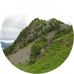
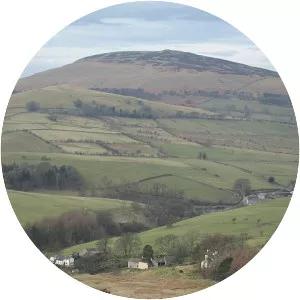
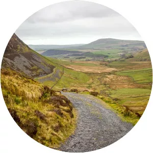
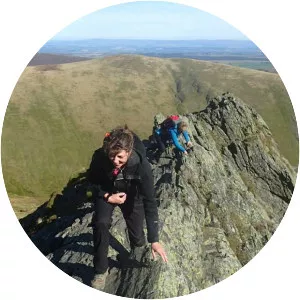
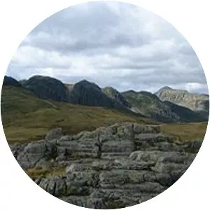
Cumbria Way Photos