Cota, Cundinamarca
| Use attributes for filter ! | |
| Elevation | 2,566 m |
|---|---|
| Area | 55 km² |
| Location statistical region population | 24,916 |
| Provinc | Central Savanna Province |
| Hotel prices | View hotels |
| Local time | Friday 23:00 |
| Current weather | 16°C, Wind NE at 10 km |
| Sports teams | Fortaleza C.E.I.F. |
| Attractions | Bioparque La Reserva |
| Cerro Majuy | |
| Cerro Manjui | |
| Sector El Chonito | |
| Upcoming events | Bogotá |
| Date of Reg. | |
| Date of Upd. | |
| ID | 3735937 |
About Cota, Cundinamarca
Cota is a municipality and town of Colombia in the Central Savanna Province of the department of Cundinamarca. Cota is part of the metropolitan area of Colombian capital Bogotá which centre is 26 kilometres away.
Where is the Cota, Cundinamarca
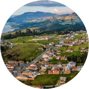
Click on the photo of Cota, Cundinamarca to view it on Google Maps.
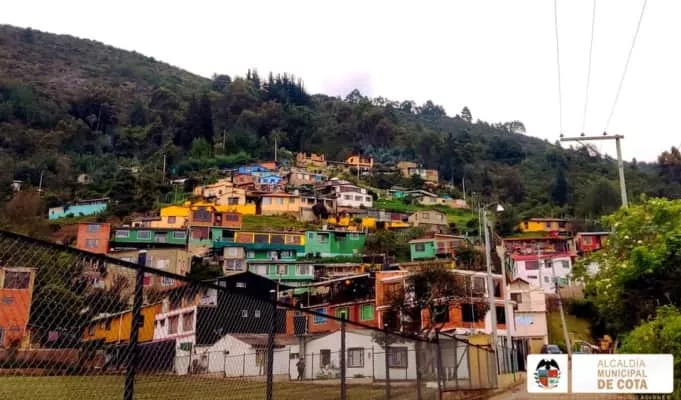
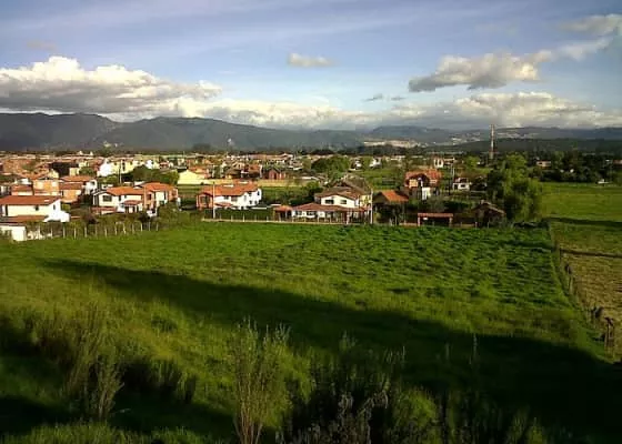
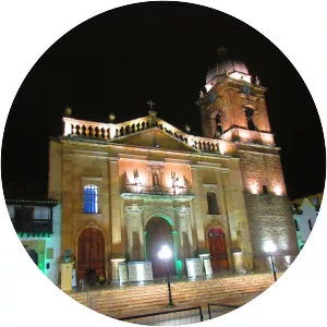
Cota, Cundinamarca Photos