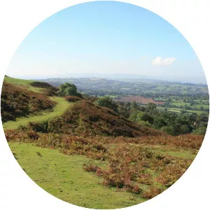
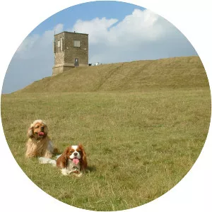
Clent Hills
| Use attributes for filter ! | |
| Elevation | 315 m |
|---|---|
| Locations | Worcestershire |
| Worcestershire, England | |
| Ratings | 4.7 |
| Os grid | SO942797 |
| Date of Reg. | |
| Date of Upd. | |
| ID | 2404995 |
About Clent Hills
The Clent Hills lie 10 miles south-west of Birmingham city centre in Clent, Worcestershire, England. The closest towns are Stourbridge and Halesowen, both in the West Midlands conurbation. The Clent Hills range consists of, in order from north-west to south-east: Wychbury Hill, Clent Hill, and Walton Hill.
Where is the Clent Hills
Click on the photo of Clent Hills to view it on Google Maps.