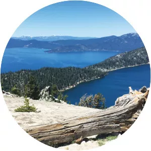
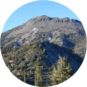
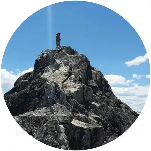
Carson Range
| Use attributes for filter ! | |
| Highest point | Freel Peak |
|---|---|
| Country | United States |
| Topo map | USGS |
| Mount Rose | |
| Borders on | Reno |
| Nevada | |
| Lake Tahoe | |
| Range coordinates | 39°20′37. 672″N 119°55′1. 688″W / 39. 34379778°N 119. 91713556°W Coordinates: 39°20′37. 672″N 119°55′1. 688″W / 39. 34379778°N 119. 91713556°W |
| Date of Reg. | |
| Date of Upd. | |
| ID | 2380299 |
About Carson Range
The Carson Range is a spur of the Sierra Nevada in eastern California and western Nevada that starts at Carson Pass and stretches north to the Truckee River near Verdi, Nevada.