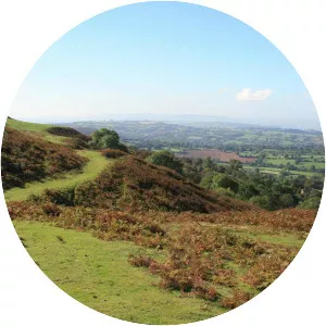
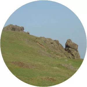
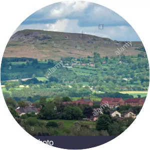
Carding Mill Valley And The Long Mynd
| Use attributes for filter ! | |
| Address | Shropshire SY6 6JG, United Kingdom |
|---|---|
| Elevation | 516 |
| Hours | Open 24 hours |
| Formed by | Glaciation |
| Peak | Pole Bank |
| Date of Reg. | |
| Date of Upd. | |
| ID | 2591844 |
About Carding Mill Valley And The Long Mynd
The Long Mynd is a heath and moorland plateau that forms part of the Shropshire Hills in Shropshire, England. The high ground, which is designated as an Area of Outstanding Natural Beauty, lies between the Stiperstones range to the west and the Stretton Hills and Wenlock Edge to the east.
Where is the Carding Mill Valley and the Long Mynd

Click on the photo of Carding Mill Valley and the Long Mynd to view it on Google Maps.