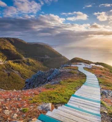
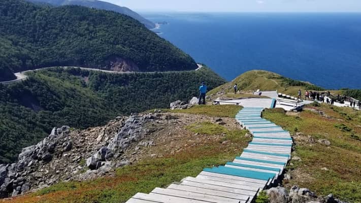
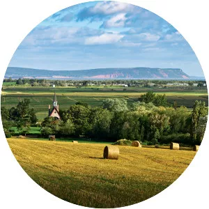
Cape Breton Highlands
| Use attributes for filter ! | |
| Elevation | 533 m |
|---|---|
| Highest point | White Hill |
| Provinces | Nova Scotia |
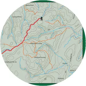
| Topo map | NTS |
| NTS 11K10 Cheticamp River | |
| Country | Canada |
| Ratings | 4.3 |
| Locations | Cape Breton Island, Nova Scotia, Canada |
| Mountain range | Appalachian Mountains |
| Rang coordin | 46°44′59.5″N 60°35′53.7″W / 46.749861°N 60.598250°W |
| Countries | Canada |
| Date of Reg. | |
| Date of Upd. | |
| ID | 2313117 |
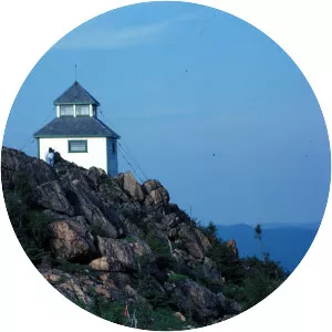
About Cape Breton Highlands
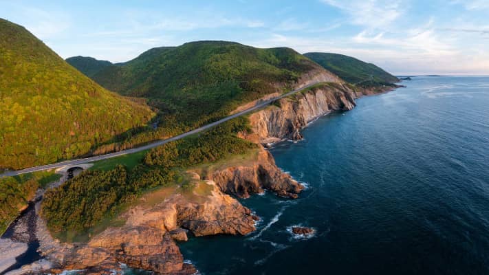
The Cape Breton Highlands, commonly called the Highlands, refer to a highland or mountainous plateau across the northern part of Cape Breton Island in the Canadian province of Nova Scotia.
Where is the Cape Breton Highlands
Click on the photo of Cape Breton Highlands to view it on Google Maps.
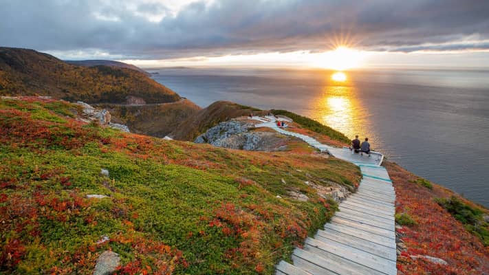
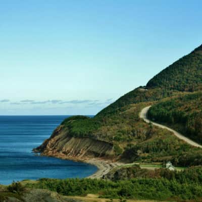
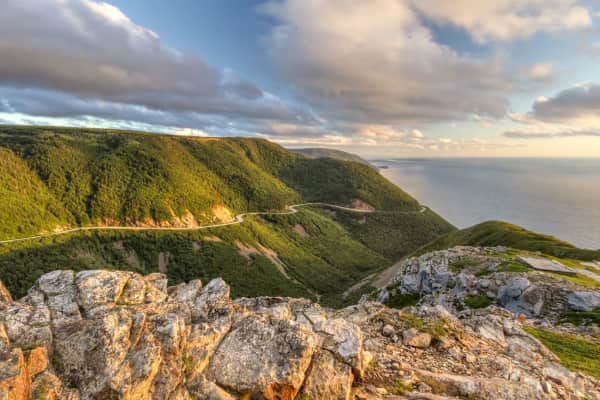
Cape Breton Highlands Photos