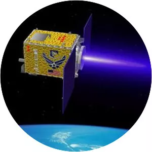
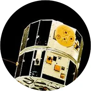
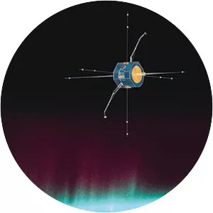
C/NOFS
| Use attributes for filter ! | |
| Periods | 1. 6 hours |
|---|---|
| Launch date | April 16, 2008 |
| Perigee altitude | 405 kilometers (252 mi) |
| Apogee altitude | 853 kilometers (530 mi) |
| Manufacturers | General Dynamics |
| Rocket | Pegasus |
| Date of Reg. | |
| Date of Upd. | |
| ID | 1951646 |
About C/NOFS
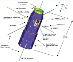
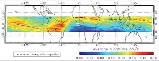
C/NOFS, or Communications/Navigation Outage Forecasting System was an American satellite developed by the Air Force Research Laboratory Space Vehicles Directorate to investigate and forecast scintillations in the Earth's ionosphere.
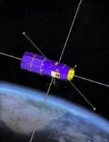
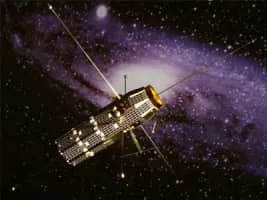
C/NOFS Photos