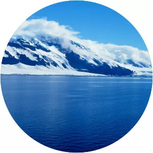
Burke Island
| Use attributes for filter ! | |
| Area | 355 |
|---|---|
| Locations | Antarctica |
| Date of Reg. | |
| Date of Upd. | |
| ID | 2106902 |
About Burke Island
Burke Island is an ice-covered island about 30 km long and 11 km wide, lying 69 km southwest of Cape Waite, King Peninsula, in the Amundsen Sea. Burke Island was delineated from aerial photographs taken by U. S. Navy Squadron VX-6 in January 1960.