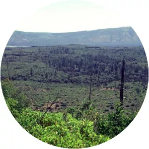
Bridge River Cones
| Use attributes for filter ! | |
| Elevation | 2500 |
|---|---|
| Provinces | British Columbia |
| Mountain range | Pacific Ranges |
| Age of rock | Holocene |
| Parent range | Pacific Ranges |
| Volcanic arc/belt | Canadian Cascade Arc |
| Garibaldi Volcanic Belt | |
| Date of Reg. | |
| Date of Upd. | |
| ID | 1195039 |
About Bridge River Cones
The Bridge River Cones, sometimes referred to as the Lillooet Cones and Salal Creek Cones, is the name given to a volcanic field located on the north flank of the upper Bridge River, about 40 km west of the town of Gold Bridge.