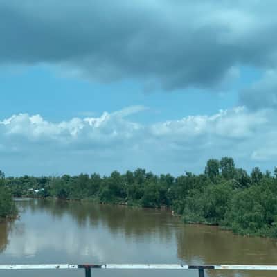
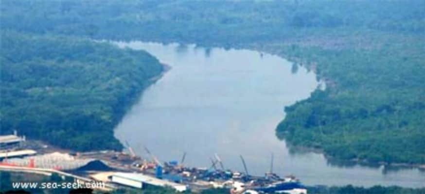
Batu Pahat River
| Use attributes for filter ! | |
| Ratings | 3.8 |
|---|---|
| Length | 12 km |
| Mouth | Kampung Minyak Beku |
| Source | Simpang Kanan |
| Countries | Malaysia |
| Date of Reg. | |
| Date of Upd. | |
| ID | 4039624 |
About Batu Pahat River
The Batu Pahat River is the river originating from Sungai Simpang Kiri and Sungai Simpang Kanan near Tongkang Pechah, and flows through Batu Pahat and until it reaches the mouth of the river in Pantai Minyak Beku, a seaside village lying on the west coast of Johor, Malaysia. The total length of the river is 12 km.
Where is the Batu Pahat River
Click on the photo of Batu Pahat River to view it on Google Maps.
Batu Pahat River Photos