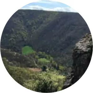
Bassin De Saint-Ferréol
| Use attributes for filter ! | |
| Surface elevation | 345 |
|---|---|
| Area | 67 |
| Length | 1. 5 km |
| Locations | Aude |
| Haute-Garonne | |
| Tarn | |
| Max. depth | 36 m (118 ft) |
| Primary inflow | Laudot |
| Date of Reg. | |
| Date of Upd. | |
| ID | 2263308 |
About Bassin De Saint-Ferréol
The Bassin de Saint-Ferréol was created as the result of a large earth dam across the mouth of the valley of Laudot stream at St. Ferréol in the Montagne Noire. It was originally proposed by Chevalier de Clerville and accepted by Pierre Paul Riquet as an integral part of the Canal du Midi.