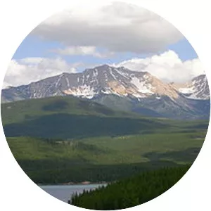
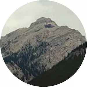
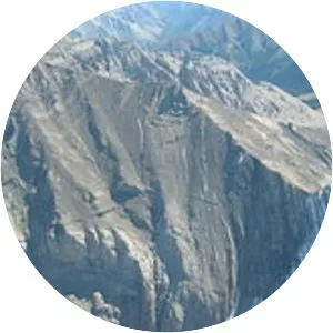
Ball Range
| Use attributes for filter ! | |
| Elevation | 3311 |
|---|---|
| Highest point | Mount Ball |
| Mountain range | Canadian Rockies |
| Provinces | British Columbia |
| Range coordinates | 51°09′02″N 115°59′21″W / 51. 15056°N 115. 98917°W Coordinates: 51°09′02″N 115°59′21″W / 51. 15056°N 115. 98917°W |
| Date of Reg. | |
| Date of Upd. | |
| ID | 2134575 |
About Ball Range
The Ball Range is a mountain range on the Continental Divide between Vermilion Pass and Red Earth Pass in Kootenay National Park, Canada. The range is named after John Ball, a politician who helped secure funding for the Palliser expedition.