Austdalsvatnet
| Use attributes for filter ! | |
| Area | 7.94 km² |
|---|---|
| Surface elevation | 1,200 m |
| Shore length | 16.53 km |
| Date of Reg. | |
| Date of Upd. | |
| ID | 4040268 |
About Austdalsvatnet
Austdalsvatnet is a lake in the northwestern part of Luster Municipality in Vestland county, Norway. It is located in the Breheimen mountain range at the end of the Austdalsbreen glacier, just north of the lake Styggevatnet. It is about 10 kilometres east of Lodalskåpa and Brenibba, in the Jostedalsbreen glacier.
Where is the Austdalsvatnet
Click on the photo of Austdalsvatnet to view it on Google Maps.
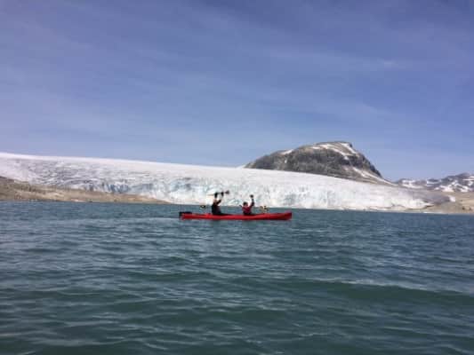
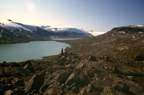
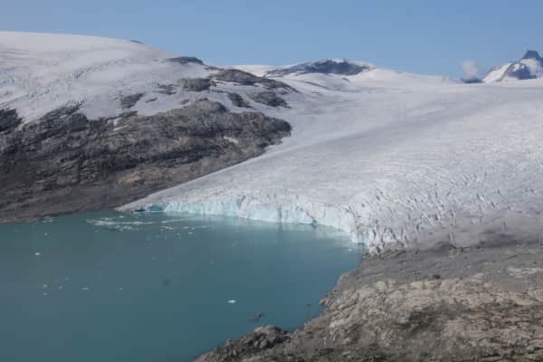
Austdalsvatnet Photos