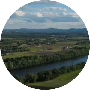
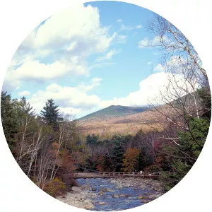
Ammonoosuc River
| Use attributes for filter ! | |
| Length | 89 km |
|---|---|
| Source | Lakes of the Clouds |
| Country | United States |
| Mouth elevation | 131064 |
| Mouths | Connecticut River |
| Woodsville | |
| Bridges | Bath Covered Bridge |
| Haverhill-Bath Covered Bridge | |
| Date of Reg. | |
| Date of Upd. | |
| ID | 3050342 |
About Ammonoosuc River
The Ammonoosuc River is a river, 55 mi long, in northwestern New Hampshire in the United States. It is a tributary of the Connecticut River, which flows to Long Island Sound. "Ammonoosuc" is Abnaki for "small, narrow fishing place".